No higher resolution available.
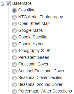
AU_NT_Natural_Resource_Maps_Caution_Layers.png (247 × 313 pixels, file size: 26 KB, MIME type: image/png)
File history
Click on a date/time to view the file as it appeared at that time.
| Date/Time | Thumbnail | Dimensions | User | Comment | |
|---|---|---|---|---|---|
| current | 11:07, 10 February 2020 | | 247 × 313 (26 KB) | LostInMyMaps (talk | contribs) |
You cannot overwrite this file.
File usage
There are no pages that use this file.