
Size of this preview: 800 × 486 pixels. Other resolution: 1,310 × 796 pixels.
Original file (1,310 × 796 pixels, file size: 115 KB, MIME type: image/png)
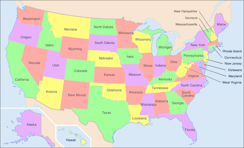
Map of USA showing states | PNG Pulled from http://upload.wikimedia.org/wikipedia/commons/1/1e/Map_of_USA_showing_state_names.png
File history
Click on a date/time to view the file as it appeared at that time.
| Date/Time | Thumbnail | Dimensions | User | Comment | |
|---|---|---|---|---|---|
| current | 17:47, 5 November 2014 | | 1,310 × 796 (115 KB) | Fredo-p (talk | contribs) | Map of USA showing states | PNG Pulled from http://upload.wikimedia.org/wikipedia/commons/1/1e/Map_of_USA_showing_state_names.png |
You cannot overwrite this file.
File usage
There are no pages that use this file.