Size of this preview: 471 × 599 pixels. Other resolution: 626 × 796 pixels.
Original file (626 × 796 pixels, file size: 836 KB, MIME type: image/png)
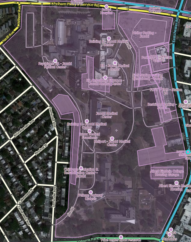
Medical center mapped with place points for ERs, buildings, and PLAs. Shown with Place Names for visualization.
File history
Click on a date/time to view the file as it appeared at that time.
| Date/Time | Thumbnail | Dimensions | User | Comment | |
|---|---|---|---|---|---|
| current | 04:15, 9 March 2017 | | 626 × 796 (836 KB) | PesachZ (talk | contribs) | Medical center mapped with place points for ERs, buildings, and PLAs. Shown with Place Names for visualization. |
You cannot overwrite this file.
File usage
There are no pages that use this file.