Tonestertm (talk | contribs) (Outline map of the 58 counties in California) |
Tonestertm (talk | contribs) mNo edit summary |
||
| Line 1: | Line 1: | ||
Outline map of the 58 counties in California | Outline map of the 58 counties in California | ||
From Wikipedia Commons: | |||
http://commons.wikimedia.org/wiki/File:California_counties_outline_map.svg | |||
derived from a United States Census Bureau image, in the public domain. | |||
Latest revision as of 21:34, 26 October 2014
Outline map of the 58 counties in California
From Wikipedia Commons: http://commons.wikimedia.org/wiki/File:California_counties_outline_map.svg derived from a United States Census Bureau image, in the public domain.
File history
Click on a date/time to view the file as it appeared at that time.
| Date/Time | Thumbnail | Dimensions | User | Comment | |
|---|---|---|---|---|---|
| current | 22:02, 25 October 2014 | 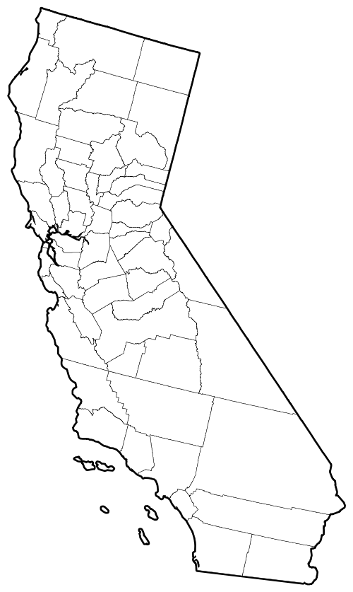 | 500 × 837 (84 KB) | Tonestertm (talk | contribs) | Outline map of the 58 counties in California |
File usage
The following file is a duplicate of this file (more details):
- File:California counties outline map.png from a shared repository
The following page uses this file: