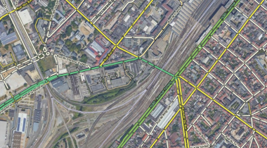
Railroads

|-|-|-|-|-|-|-|-|-| Railroad |-|-|-|-|-|-|-|-|-|
Used for railway lines, metros tracks and tramways. They are mainly used for visual orientation or to prevent contamination of traffic data when close to other roads.
- It is not neccessary to map all railroad, tram, or metro tracks. One rail road track suffices for multiple tracks next to each other.
- Tracks that are embedded in a road surface or a median strip should not be mapped.
- At crossings with drivable roads on the same elevation level, the railroad may be connected to the road with a junction node. Leave the turns disabled.
- Add a Railroad Crossing (RCC) at junctions with drivable segments