No higher resolution available.
GIS-Layer-Choices.PNG (306 × 263 pixels, file size: 14 KB, MIME type: image/png)
Summary
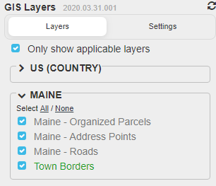
GIS Layer Chocies for Maine 2020 Map Raid
File history
Click on a date/time to view the file as it appeared at that time.
| Date/Time | Thumbnail | Dimensions | User | Comment | |
|---|---|---|---|---|---|
| current | 23:46, 19 May 2020 | | 306 × 263 (14 KB) | W1qa (talk | contribs) | Reverted to version as of 23:44, 19 May 2020 (UTC) |
| 23:45, 19 May 2020 |  | 308 × 266 (9 KB) | W1qa (talk | contribs) | Reverted to version as of 23:32, 19 May 2020 (UTC) | |
| 23:44, 19 May 2020 |  | 306 × 263 (14 KB) | W1qa (talk | contribs) | Now include Town Borders | |
| 23:32, 19 May 2020 |  | 308 × 266 (9 KB) | W1qa (talk | contribs) | ||
| 00:46, 18 May 2020 |  | 308 × 242 (8 KB) | W1qa (talk | contribs) | GIS Layer Chocies for Maine 2020 Map Raid |
You cannot overwrite this file.
File usage
There are no pages that use this file.