This special page shows all uploaded files.
| Date | Name | Thumbnail | Size | Description | Versions |
|---|---|---|---|---|---|
| 05:42, 12 February 2014 | USFS-level3b.jpg (file) |  |
281 KB | Example of USFS level-3 road | 1 |
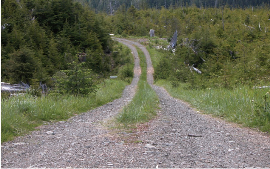
| 05:41, 12 February 2014 | USFS-level2b.jpg (file) |  |
285 KB | Example of USFS level-2 road | 1 |
| 15:58, 28 May 2014 | Mentor-new-transparent-large.png (file) | 296 KB | Mentoring logo, transparent PNG, large image. | 1 | |
| 19:11, 23 February 2014 | National-park-service-logo.png (file) | 312 KB | National Park Service (NPS), logo | 1 | |
| 23:03, 19 May 2013 | Pi gated-community4.jpg (file) |  |
320 KB | Private Installations - Gated community - Small Installation example. | 1 |
| 05:39, 12 February 2014 | USFS-level1b.jpg (file) |  |
321 KB | Example of USFS level-1 road | 1 |
| 05:39, 12 February 2014 | USFS-level1a.jpg (file) |  |
327 KB | Example of USFS level-1 road | 1 |
| 06:15, 21 January 2015 | PI lock gate 1.png (file) |  |
344 KB | Change name of gate to Blocked | 2 |
| 06:17, 21 January 2015 | PI lock gate 2.png (file) |  |
350 KB | Change gate name to Blocked | 2 |
| 05:40, 12 February 2014 | USFS-level2a.jpg (file) |  |
353 KB | Example of USFS level-2 road | 1 |
| 16:43, 19 February 2014 | USFS-MVUM-1a.png (file) |  |
424 KB | US Forest Service, Motor Vehicle Use Map (MVUM), internal view, example | 1 |
| 19:28, 5 February 2014 | Bia-map-indian-reservations-usa.png (file) |  |
457 KB | Map of Indian Reservations in the United States from DOI BIA | 1 |
| 16:29, 1 June 2014 | BIA-logo-transparent.png (file) | 530 KB | Bureau of Indian Affairs (BIA) logo, transparent PNG | 1 | |
| 03:01, 3 March 2014 | National Park Service Road Classification.png (file) |  |
565 KB | Removes black line at top of prior image | 2 |
| 03:05, 3 March 2014 | National Park Service Road Classification2.png (file) |  |
565 KB | Road classification for National Park Service Roads from their current document on this subject. | 1 |
| 15:30, 1 June 2014 | Navajo-Nation-Map-PHS.jpg (file) |  |
1.5 MB | Obtained from Wikipedia Commons | 1 |