This special page shows all uploaded files.
| Date | Name | Thumbnail | Size | Description | Versions |
|---|---|---|---|---|---|
| 09:13, 23 April 2016 | India.png (file) |  |
95 KB | 1 | |
| 21:03, 23 March 2015 | Inheritance exit ramp.PNG (file) |  |
325 KB | 1 | |
| 20:27, 7 January 2016 | Junction node.PNG (file) |  |
17 KB | 1 | |
| 21:12, 7 January 2016 | Junction node moved.PNG (file) |  |
200 KB | 1 | |
| 20:29, 7 January 2016 | Junction node selected.PNG (file) |  |
15 KB | 1 | |
| 21:13, 7 January 2016 | Junction realigned.PNG (file) |  |
177 KB | 1 | |
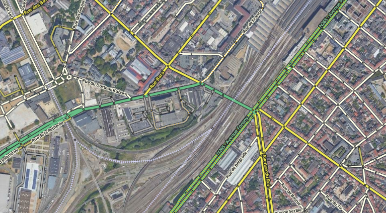
| 18:47, 31 May 2020 | LU-Major Highway-fr.PNG (file) |  |
975 KB | Major Higways in Luxembourg | 1 |
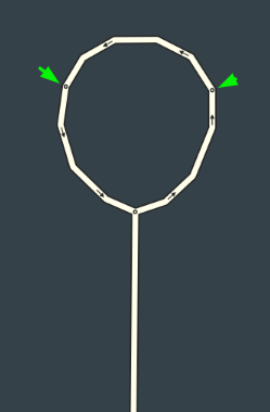
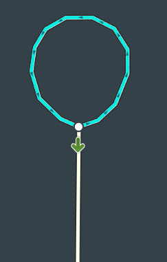
| 18:53, 22 February 2020 | Loop road correct.png (file) |  |
19 KB | 1 | |
| 18:51, 22 February 2020 | Loop road wrong.png (file) |  |
21 KB | 1 | |
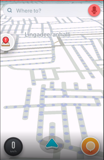
| 15:27, 25 December 2015 | Map Problem Missing road.png (file) |  |
663 KB | 1 | |
| 23:31, 29 May 2016 | Mapraiders for bugs.jpeg (file) | 90 KB | made by dfrios | 1 | |
| 09:57, 3 August 2019 | Moweez India signature.jpg (file) |  |
5 KB | 1 | |
| 14:43, 22 August 2020 | Moweez avatar small.png (file) | 417 KB | 2 | ||
| 19:08, 19 February 2020 | Pacman roads.png (file) |  |
266 KB | 1 | |
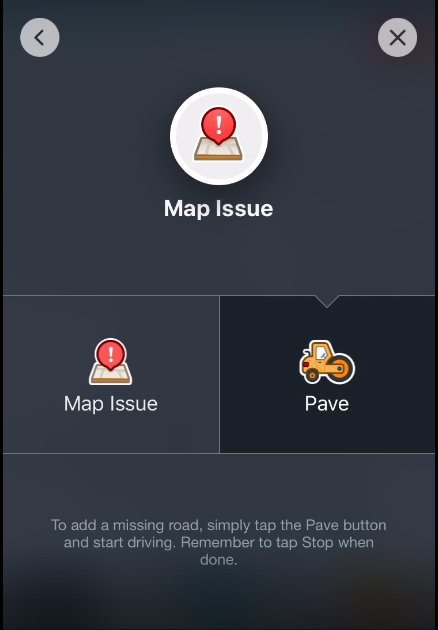
| 18:54, 19 February 2020 | Pave drive.PNG (file) |  |
203 KB | 1 | |
| 18:58, 19 February 2020 | Pave from App.png (file) |  |
104 KB | 1 | |
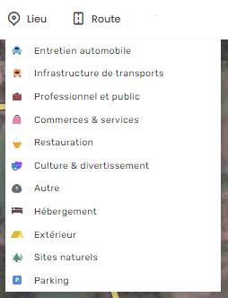
| 18:05, 22 August 2020 | Places-categories-fr.png (file) |  |
28 KB | 1 | |
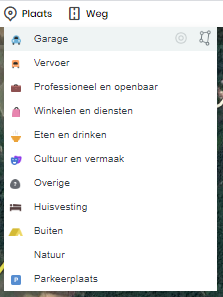
| 17:32, 22 August 2020 | Places-categories-nl.png (file) |  |
21 KB | 1 | |
| 10:22, 30 December 2017 | R6-moweez.gif (file) |  |
378 KB | 2 | |
| 15:41, 1 June 2020 | Railroad crossing overview.png (file) |  |
135 KB | removed the transparent background as it showed black | 2 |
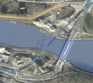
| 08:49, 3 May 2020 | Railway-example.png (file) |  |
947 KB | 2 | |
| 13:46, 28 August 2015 | Redroad.png (file) |  |
1.1 MB | 2 | |
| 13:48, 28 August 2015 | Redroad fixed.png (file) |  |
1.17 MB | 2 | |
| 15:10, 2 May 2020 | RoadSign-C3.png (file) |  |
40 KB | road sign C3: no entry - both directions, all drivers | 1 |
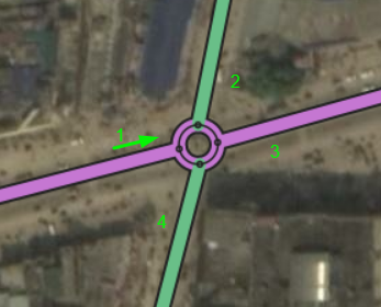
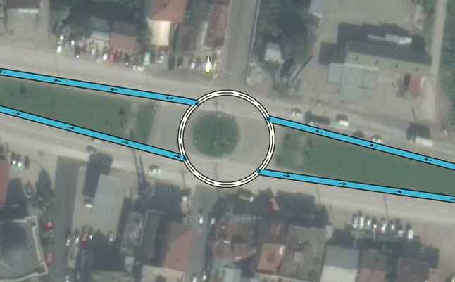
| 20:49, 22 February 2020 | Roundabout example.png (file) |  |
133 KB | 1 | |
| 14:13, 22 February 2020 | Satellite-view outdated.png (file) |  |
172 KB | 1 | |
| 20:26, 7 January 2016 | Select junction.png (file) |  |
15 KB | 2 | |
| 13:53, 27 April 2016 | Serbian flag.png (file) |  |
116 KB | 1 | |
| 11:43, 3 May 2020 | Slack Mark.png (file) |  |
8 KB | Slack Partial logo | 1 |
| 11:41, 3 May 2020 | Slack logo.png (file) | 17 KB | Slack full logo transparant | 1 | |
| 23:28, 29 May 2016 | Smudged city 1.png (file) |  |
105 KB | made by viniv1 | 1 |
| 23:30, 29 May 2016 | Smudged city 2.jpeg (file) |  |
141 KB | made by shaell | 1 |
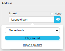
| 14:13, 23 August 2020 | TTS check.PNG (file) |  |
6 KB | How to check pronounciation (TTS - Text to speech) in WME Example in English with Dutch language selected to test | 1 |
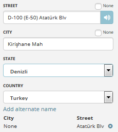
| 19:05, 25 March 2016 | Tr Denizli districts.png (file) |  |
191 KB | source: https://tr.wikipedia.org/wiki/Denizli'nin_il%C3%A7eleri | 1 |
| 07:24, 26 March 2016 | Tr Streetnames tr.png (file) |  |
9 KB | 2 | |
| 08:51, 26 March 2016 | Tr connectivity.PNG (file) |  |
533 KB | 1 | |
| 22:42, 24 January 2016 | Tr streetname plus number.PNG (file) |  |
8 KB | 1 | |
| 22:17, 31 March 2016 | Tr streetnames Denizli.PNG (file) |  |
9 KB | 1 | |
| 10:03, 26 December 2015 | Turkey freeway naming.PNG (file) |  |
3 KB | 1 | |
| 20:45, 6 January 2016 | Turkey ramp example.PNG (file) |  |
220 KB | 1 | |
| 00:32, 25 December 2015 | Turkey road shield Freeway.PNG (file) |  |
5 KB | 1 | |
| 08:47, 14 June 2020 | WME-Stairway-WT-PB-fr.png (file) |  |
624 KB | Stairway as shown in WME, on the same picture is a Walking Trail and a Pedestrian Boardwalk Street names are in French language | 1 |
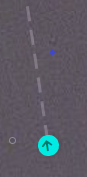
| 12:08, 2 May 2020 | WME-entry point.PNG (file) |  |
17 KB | Added entry point with arrow and dashed line showing jan 2020 | 1 |
| 12:11, 2 May 2020 | WME-entry point icon.PNG (file) | 956 bytes | Places added Entry point Jan 2020 | 1 | |
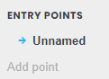
| 12:12, 2 May 2020 | WME-menu add entry point.PNG (file) |  |
2 KB | Places adding entry point from menu on the left | 1 |
| 22:48, 3 May 2020 | WME-menu add entry point nl.PNG (file) |  |
2 KB | 1 | |
| 14:44, 14 November 2015 | WMEGeneralTab.png (file) |  |
14 KB | 2 | |
| 11:45, 2 May 2020 | WME Area Place Namur Hospital.PNG (file) |  |
387 KB | newer version of WME_BNL_Area_Place_outline separately uploaded because of png type | 1 |
| 00:03, 8 February 2015 | WME BNL Area Place outline.jpg (file) |  |
89 KB | The Namur hospital is an area with building outline and Point Marker at the entrance. | 1 |
| 10:58, 8 February 2015 | WME BNL Convert to residential.JPG (file) |  |
10 KB | 1 |