(Siky pohlad na relativne zlozitu krizovatku Bratislavskeho Sucheho myta pomocou mapy.cz) |
(No difference)
|
Latest revision as of 22:14, 18 January 2012
Siky pohlad na relativne zlozitu krizovatku Bratislavskeho Sucheho myta pomocou mapy.cz
File history
Click on a date/time to view the file as it appeared at that time.
| Date/Time | Thumbnail | Dimensions | User | Comment | |
|---|---|---|---|---|---|
| current | 22:14, 18 January 2012 | 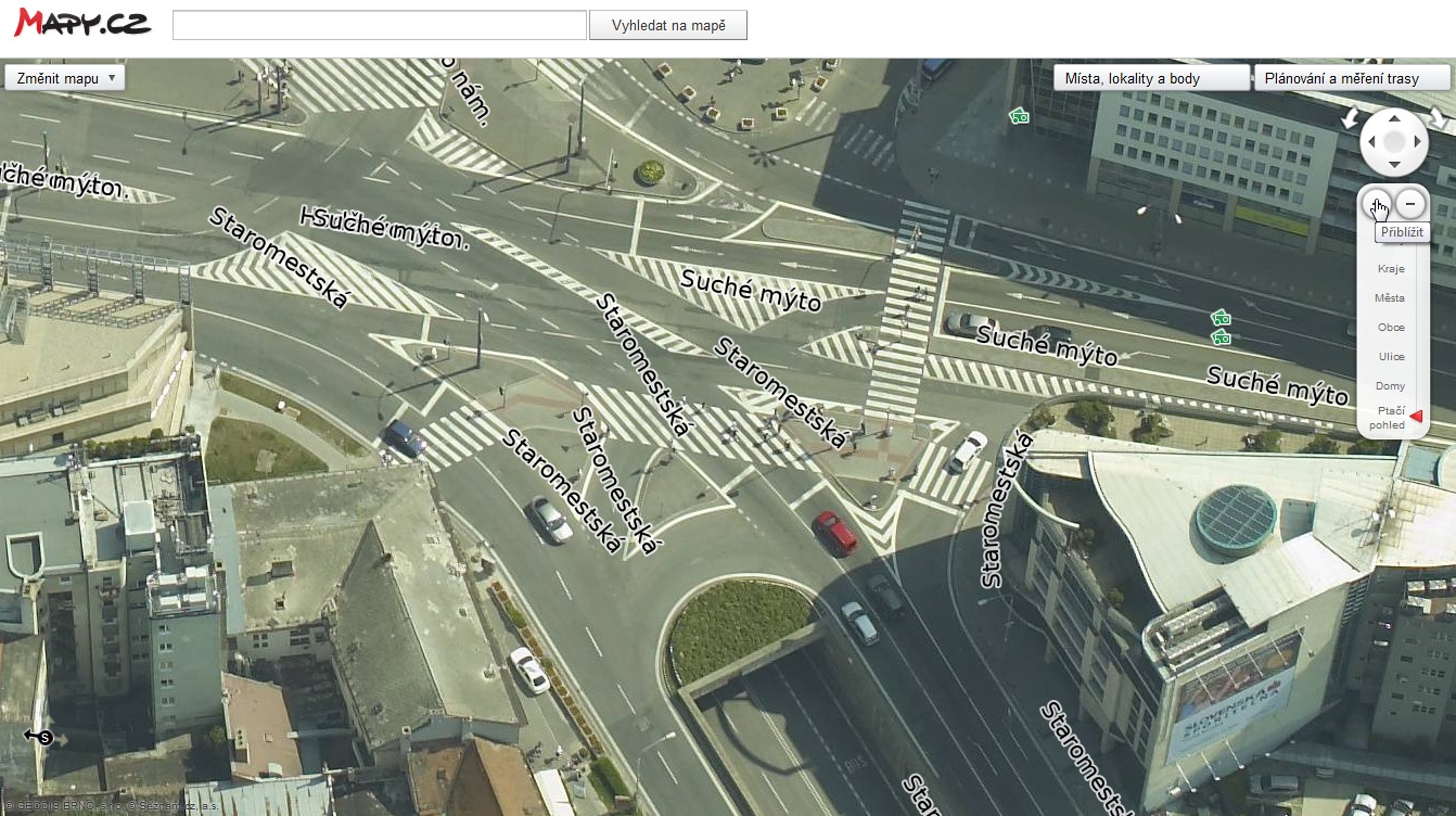 | 1,342 × 752 (358 KB) | Foxitrot (talk | contribs) | Siky pohlad na relativne zlozitu krizovatku Bratislavskeho Sucheho myta pomocou mapy.cz |
File usage
The following file is a duplicate of this file (more details):
- File:Mapy.cz-45.jpg from a shared repository
There are no pages that use this file.