This special page shows all uploaded files.
| Date | Name | Thumbnail | Size | Description | Versions |
|---|---|---|---|---|---|
| 13:50, 16 December 2014 | 6 nyc subway.png (file) |  |
708 bytes | 1 | |
| 13:49, 16 December 2014 | R nyc subway.png (file) |  |
732 bytes | 1 | |
| 13:49, 16 December 2014 | N nyc subway.png (file) |  |
651 bytes | 1 | |
| 00:36, 15 December 2014 | Parking sign.png (file) |  |
2 KB | 1 | |
| 07:44, 8 December 2014 | Ace hotel livemap.png (file) |  |
88 KB | 1 | |
| 23:36, 7 December 2014 | Clock.png (file) |  |
124 KB | 2 | |
| 23:28, 7 December 2014 | Brunei flag.png (file) |  |
6 KB | 1 | |
| 23:27, 7 December 2014 | Paraguay flag.png (file) |  |
2 KB | 1 | |
| 23:26, 7 December 2014 | Philippines flag.png (file) |  |
4 KB | 1 | |
| 23:23, 7 December 2014 | SG flag.png (file) |  |
3 KB | 1 | |
| 23:21, 7 December 2014 | Netherlands flag.png (file) |  |
168 bytes | 1 | |
| 21:51, 7 December 2014 | Livemap closure alert.png (file) |  |
18 KB | 1 | |
| 02:32, 11 November 2014 | MapRaid! NY.png (file) |  |
1.34 MB | 1 | |
| 16:30, 3 November 2014 | Place submission 9.jpg (file) |  |
107 KB | 1 | |
| 14:47, 3 November 2014 | Place submission 1b.jpg (file) |  |
149 KB | 1 | |
| 14:38, 3 November 2014 | Place submission 1a.JPG (file) |  |
203 KB | 1 | |
| 11:38, 3 November 2014 | Place submission 5.jpg (file) |  |
27 KB | 1 | |
| 11:19, 3 November 2014 | Place submission 8.jpg (file) |  |
33 KB | 1 | |
| 11:17, 3 November 2014 | Place submission 7.jpg (file) |  |
34 KB | 1 | |
| 11:10, 3 November 2014 | Place submission 6.jpg (file) |  |
45 KB | 1 | |
| 10:57, 3 November 2014 | Place submission 4.jpg (file) |  |
25 KB | 1 | |
| 10:56, 3 November 2014 | Place submission 3.jpg (file) |  |
36 KB | 1 | |
| 10:56, 3 November 2014 | Place submission 2.jpg (file) |  |
18 KB | 1 | |
| 10:54, 3 November 2014 | Place submission 1.jpg (file) |  |
32 KB | 1 | |
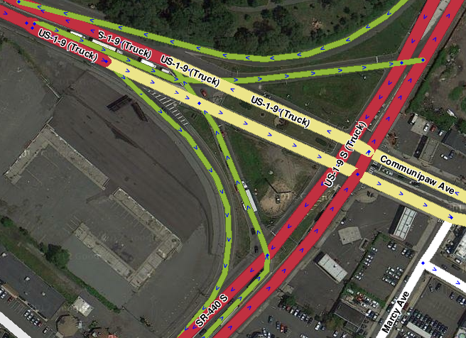
| 10:16, 3 November 2014 | Rest area stop point.png (file) |  |
371 KB | 1 | |
| 05:31, 31 October 2014 | Mapeditor.png (file) |  |
13 KB | 1 | |
| 00:37, 29 October 2014 | Closure cross streets 3.png (file) |  |
75 KB | 1 | |
| 00:36, 29 October 2014 | Closure cross streets 2.png (file) |  |
90 KB | 1 | |
| 00:35, 29 October 2014 | Closure cross streets 1.png (file) |  |
67 KB | 1 | |
| 23:09, 28 October 2014 | Closure arrow in WME.png (file) | 3 KB | 1 | ||
| 23:05, 28 October 2014 | Closure report button in client.png (file) |  |
7 KB | 1 | |
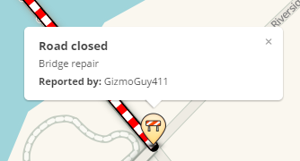
| 23:00, 28 October 2014 | Road closure icon.png (file) | 7 KB | 1 | ||
| 22:56, 28 October 2014 | Road closure in client.JPG (file) |  |
41 KB | 1 | |
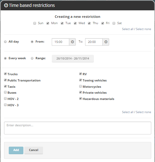
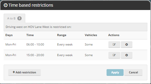
| 17:14, 26 October 2014 | HOV Multi-use.png (file) |  |
24 KB | 1 | |
| 17:12, 26 October 2014 | HOV Multi-use multiple times.png (file) |  |
18 KB | 1 | |
| 22:49, 26 August 2014 | Lane definitions.png (file) |  |
109 KB | for wayfinders | 1 |
| 17:29, 15 August 2014 | New York Counties.png (file) |  |
123 KB | 2 | |
| 17:34, 13 August 2014 | Report hidden police.png (file) |  |
16 KB | 1 | |
| 17:26, 13 August 2014 | TakePicEvent.png (file) |  |
14 KB | v3.8.1.0 | 2 |
| 17:25, 13 August 2014 | OtherLanNew.png (file) |  |
13 KB | v3.8.1.0 | 2 |
| 17:24, 13 August 2014 | MyLanNew.png (file) |  |
12 KB | v3.8.1.0 | 2 |
| 17:20, 13 August 2014 | 3alertHow.PNG (file) |  |
119 KB | App v3.8.1.0 | 2 |
| 18:39, 1 August 2014 | Wayfinder continue last BGS.png (file) |  |
102 KB | 2 | |
| 18:35, 1 August 2014 | Wayfinder continue last WME.png (file) |  |
41 KB | 1 | |
| 18:19, 1 August 2014 | Wayfinder To WME.png (file) |  |
28 KB | 1 | |
| 17:41, 1 August 2014 | WME Chat addon.png (file) |  |
37 KB | updated for version 0.7 | 2 |
| 17:36, 1 August 2014 | WME addon names.png (file) |  |
9 KB | new image showing colored status icons for 0.7 | 3 |
| 16:19, 31 July 2014 | No BGS To exit zoom out.PNG (file) |  |
494 KB | 1 | |
| 16:17, 31 July 2014 | No BGS To exit.PNG (file) |  |
592 KB | 1 | |
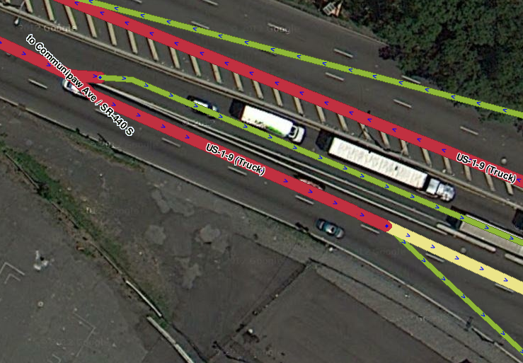
| 03:15, 29 July 2014 | Wayfinder To BGS.png (file) |  |
15 KB | Sample BGS with "TO" on it. The Name for this OUT segment should be "I-80 / Morristown / To I-280" unless Morristown only applies to I-280, in which case it would be "I-80 / To I-280 / Morristown". | 1 |