This special page shows all uploaded files.
| Date | Name | Thumbnail | Size | Description | Versions |
|---|---|---|---|---|---|
| 23:16, 6 July 2014 | Yes check.png (file) |  |
16 KB | 1 | |
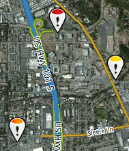
| 05:32, 23 March 2014 | YSplit.png (file) |  |
386 KB | 1 | |
| 17:51, 8 September 2013 | Wme update request meta info.png (file) | 7 KB | Updated for most recent editor version | 6 | |
| 00:06, 27 January 2014 | WindowsPhoneLatLong.png (file) |  |
72 KB | Entering latitude and longitude coordinates in an iPhone or Android phone. | 1 |
| 17:52, 13 January 2013 | Waze signature 900k 5c.png (file) | 74 KB | Waze Forum signature banner for 900K map edits and 5 cones | 1 | |
| 17:49, 13 January 2013 | Waze signature 800k 5c.png (file) | 74 KB | Waze Forum signature banner for 800K map edits and 5 cones | 1 | |
| 08:23, 17 November 2012 | Waze signature 700k 5c.png (file) | 9 KB | 700K Map Edits Signature Banner | 1 | |
| 08:21, 17 November 2012 | Waze signature 600k 5c.png (file) | 9 KB | 600K Map Edits Signature Banner | 1 | |
| 08:17, 17 November 2012 | Waze signature 500k 5c.png (file) | 9 KB | 500K Map Edits Signature Banner | 1 | |
| 04:57, 12 November 2012 | Waze signature 400k 5c.png (file) | 9 KB | Corrected transparency | 2 | |
| 06:25, 26 March 2013 | Waze signature 1 0M 5c.png (file) | 9 KB | Waze Forum signature banner for 1.0M map edits and 5 cones | 1 | |
| 05:00, 23 May 2013 | WazeSig2.png (file) |  |
95 KB | Waze sign in page for new or current users. Also password reset. | 1 |
| 05:34, 23 May 2013 | WazeSig1.png (file) |  |
78 KB | Waze sign in page from main sign in for existing users. | 1 |
| 09:19, 11 February 2014 | Warning blue construction.png (file) |  |
2 KB | MBOX image: Blue Construction Triangle | 1 |
| 22:55, 27 April 2013 | WME Tabs.png (file) | 4 KB | Tabs on Waze Map Editor | 2 | |
| 21:23, 22 February 2017 | Vn.png (file) |  |
3 KB | Reduced to consistent 25x15 format. | 2 |
| 20:32, 13 January 2013 | UpdateRequests.png (file) |  |
125 KB | Update requests on map with 3 color codes | 1 |
| 01:18, 9 October 2015 | UpDownSort.png (file) |  |
3 KB | Updated with transparent background | 2 |
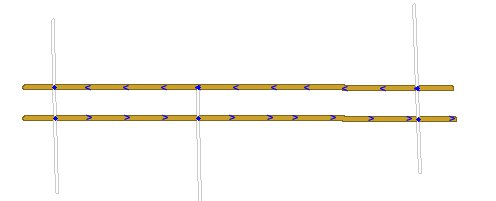
| 06:27, 27 May 2013 | UndivideRd4.jpg (file) |  |
6 KB | Step 4 to undivide a road. | 1 |
| 06:27, 27 May 2013 | UndivideRd3.jpg (file) |  |
5 KB | Step 3 to undivide a road. | 1 |
| 06:26, 27 May 2013 | UndivideRd2.jpg (file) |  |
5 KB | Step 2 to undivide a road. | 1 |
| 06:25, 27 May 2013 | UndivideRd1.jpg (file) |  |
7 KB | Step 1 to undivide a road. | 1 |
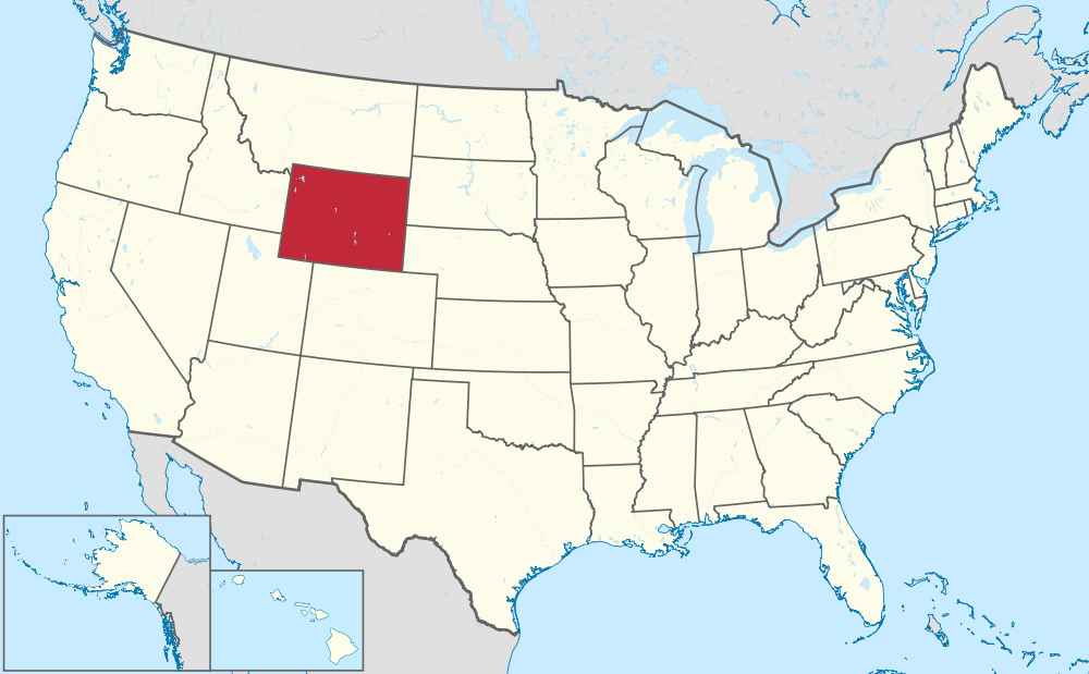
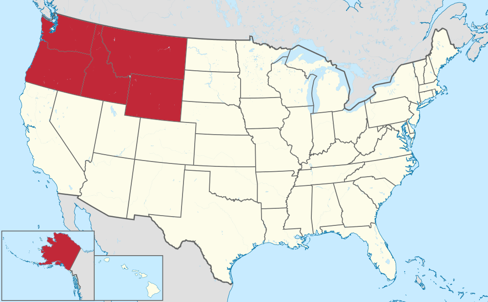
| 16:54, 5 August 2014 | USA Wyoming.png (file) |  |
225 KB | http://commons.wikimedia.org/wiki/File:Wyoming_in_United_States.svg | 1 |
| 16:53, 5 August 2014 | USA Wisconsin.png (file) |  |
226 KB | http://commons.wikimedia.org/wiki/File:Wisconsin_in_United_States.svg | 1 |
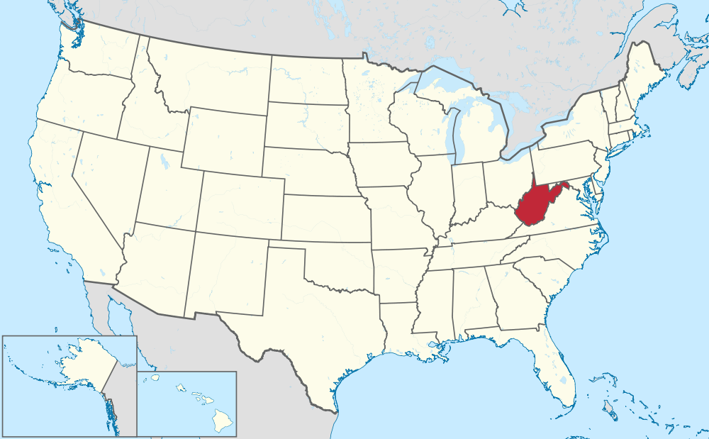
| 16:52, 5 August 2014 | USA West Virginia.png (file) |  |
225 KB | http://commons.wikimedia.org/wiki/File:West_Virginia_in_United_States.svg | 1 |
| 16:52, 5 August 2014 | USA Washington.png (file) |  |
225 KB | http://commons.wikimedia.org/wiki/File:Washington_in_United_States.svg | 1 |
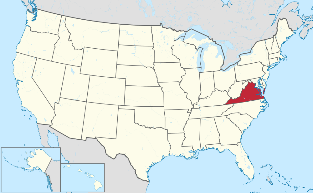
| 16:51, 5 August 2014 | USA Virginia.png (file) |  |
211 KB | http://commons.wikimedia.org/wiki/File:Virginia_in_United_States.svg | 1 |
| 08:51, 14 July 2014 | USA Virgin Islands.png (file) |  |
140 KB | [http://commons.wikimedia.org/wiki/Category:SVG_locator_maps_of_states_in_the_United_States_(location_map_scheme) Wikimedia USA locator maps] | 1 |
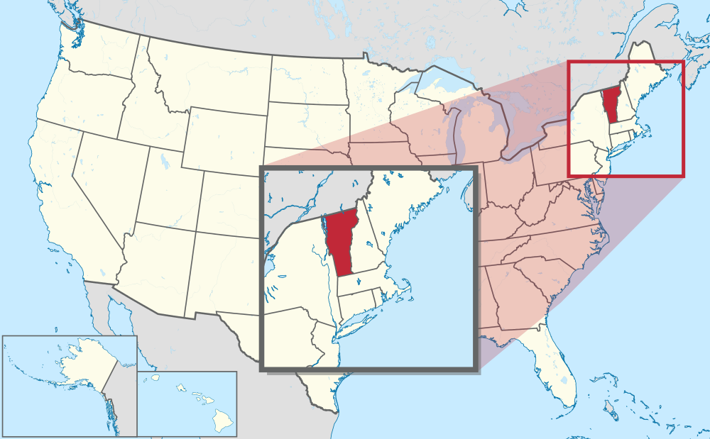
| 16:51, 5 August 2014 | USA Vermont.png (file) |  |
214 KB | http://commons.wikimedia.org/wiki/File:Vermont_in_United_States_(zoom).svg | 1 |
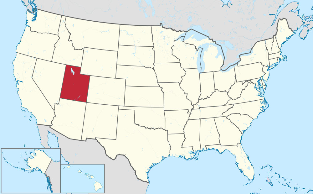
| 16:50, 5 August 2014 | USA Utah.png (file) |  |
225 KB | http://commons.wikimedia.org/wiki/File:Utah_in_United_States.svg | 1 |
| 08:43, 14 July 2014 | USA Texas.png (file) |  |
225 KB | [http://commons.wikimedia.org/wiki/Category:SVG_locator_maps_of_states_in_the_United_States_(location_map_scheme) Wikimedia USA locator maps] | 1 |
| 16:49, 5 August 2014 | USA Tennessee.png (file) |  |
225 KB | http://commons.wikimedia.org/wiki/File:Tennessee_in_United_States.svg | 1 |
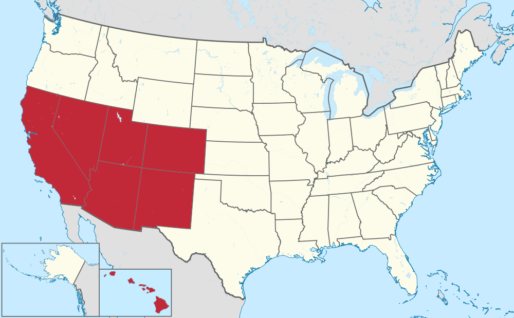
| 06:26, 26 July 2014 | USA Southwest.png (file) |  |
200 KB | 1 | |
| 06:46, 24 July 2014 | USA Southeast.png (file) |  |
201 KB | Based on http://commons.wikimedia.org/wiki/File:Florida_in_United_States.svg | 1 |
| 16:49, 5 August 2014 | USA South Dakota.png (file) |  |
226 KB | http://commons.wikimedia.org/wiki/File:South_Dakota_in_United_States.svg | 1 |
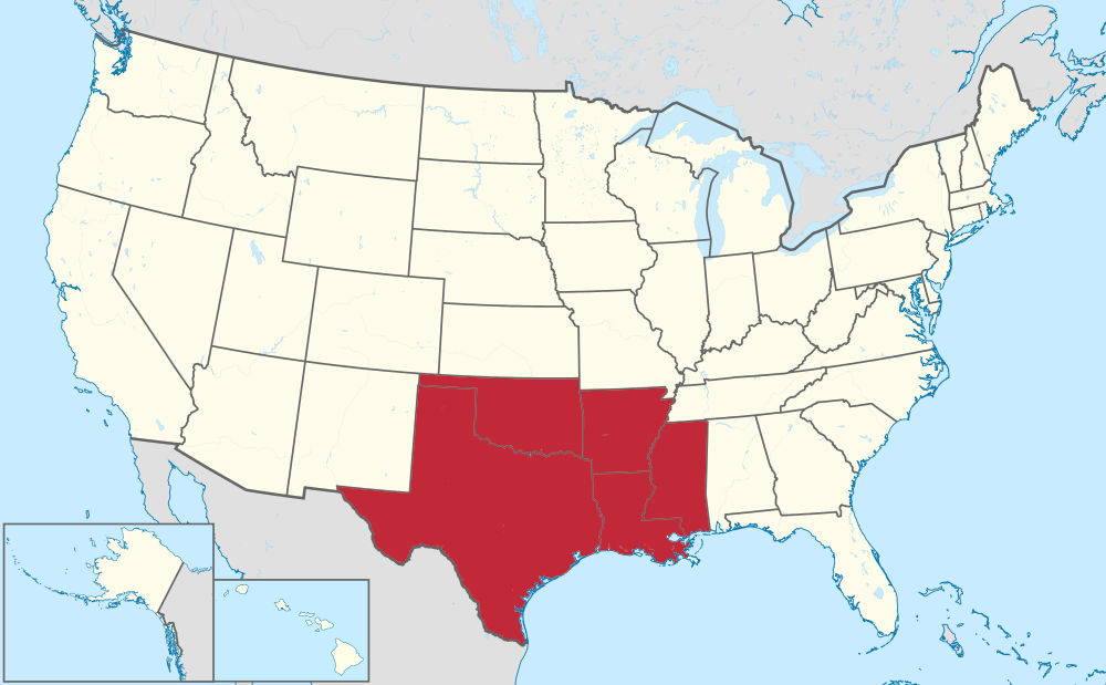
| 06:31, 26 July 2014 | USA South Central.png (file) |  |
202 KB | 1 | |
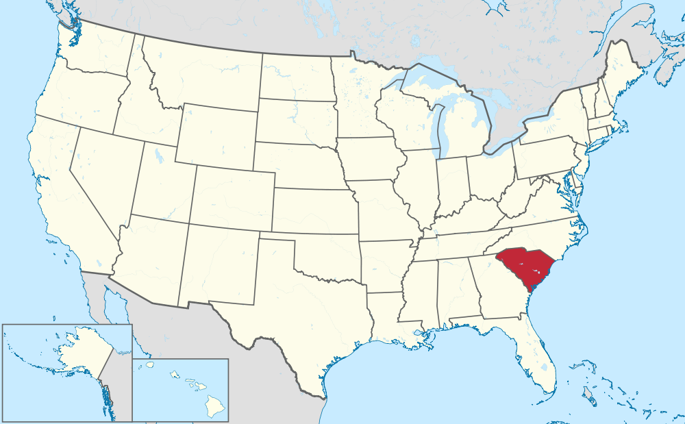
| 16:48, 5 August 2014 | USA South Carolina.png (file) |  |
225 KB | http://commons.wikimedia.org/wiki/File:South_Carolina_in_United_States.svg | 1 |
| 08:15, 26 July 2014 | USA South Atlantic.png (file) |  |
204 KB | 1 | |
| 08:50, 14 July 2014 | USA Puerto Rico.png (file) |  |
140 KB | Wikimedia USA locator maps | 1 |
| 06:29, 26 July 2014 | USA Plains.png (file) |  |
202 KB | 1 | |
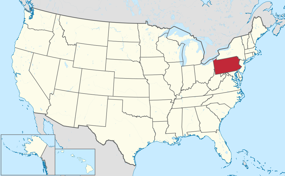
| 16:47, 5 August 2014 | USA Pennsylvania.png (file) |  |
225 KB | http://commons.wikimedia.org/wiki/File:Pennsylvania_in_United_States.svg | 1 |
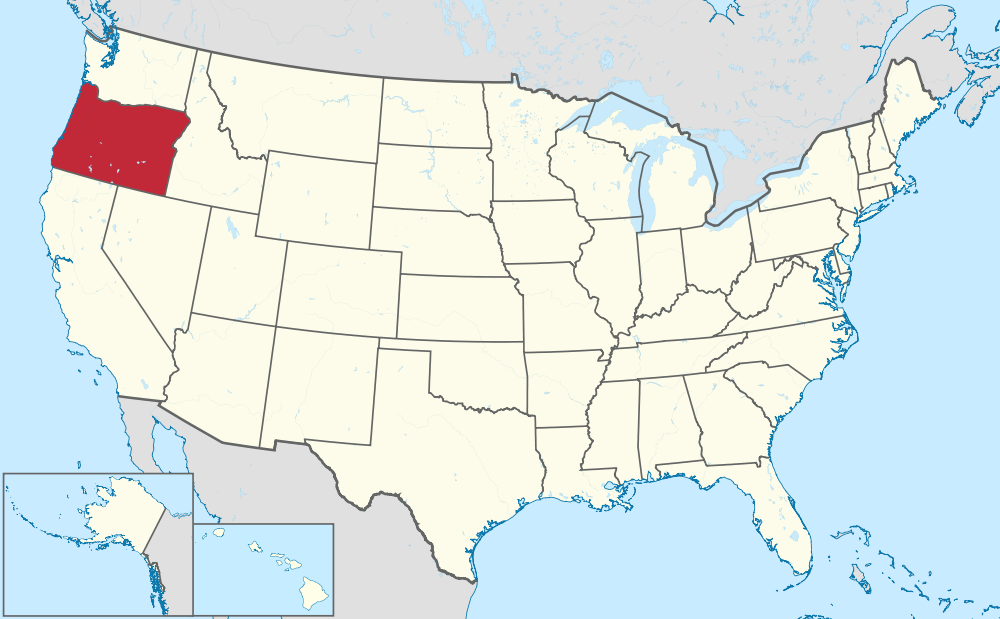
| 16:47, 5 August 2014 | USA Oregon.png (file) |  |
225 KB | http://commons.wikimedia.org/wiki/File:Oregon_in_United_States.svg | 1 |
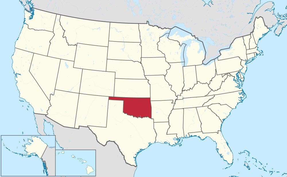
| 16:46, 5 August 2014 | USA Oklahoma.png (file) |  |
225 KB | http://commons.wikimedia.org/wiki/File:Oklahoma_in_United_States.svg | 1 |
| 16:45, 5 August 2014 | USA Ohio.png (file) |  |
225 KB | http://commons.wikimedia.org/wiki/File:Ohio_in_United_States.svg | 1 |
| 06:22, 26 July 2014 | USA Northwest.png (file) |  |
202 KB | 1 | |
| 18:49, 8 August 2014 | USA Northern Mariana Islands.png (file) |  |
171 KB | http://commons.wikimedia.org/wiki/File:Northern_Mariana_Islands_in_United_States.svg | 2 |
| 08:19, 26 July 2014 | USA Northeast.png (file) |  |
205 KB | 1 | |
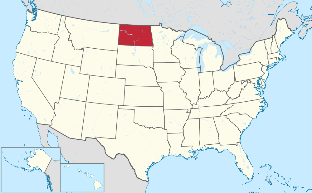
| 16:45, 5 August 2014 | USA North Dakota.png (file) |  |
226 KB | http://commons.wikimedia.org/wiki/File:North_Dakota_in_United_States.svg | 1 |
| 16:44, 5 August 2014 | USA North Carolina.png (file) |  |
225 KB | http://commons.wikimedia.org/wiki/File:North_Carolina_in_United_States.svg | 1 |
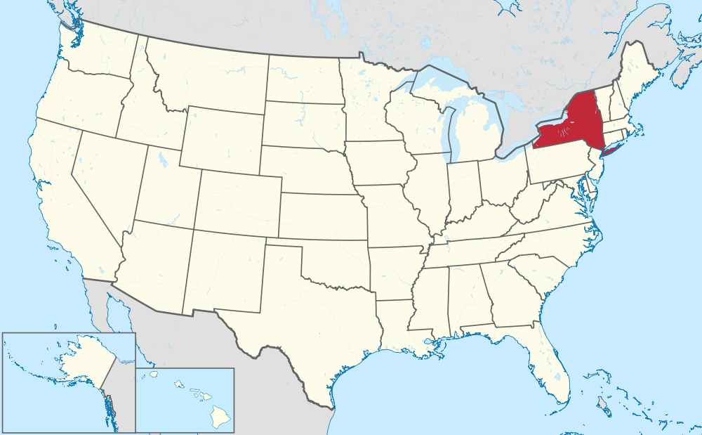
| 16:43, 5 August 2014 | USA New York.png (file) |  |
225 KB | http://commons.wikimedia.org/wiki/File:New_York_in_United_States.svg | 1 |