This page serves as the primary resource for editors of the Northern Mariana Islands region. Review all the sections to better understand how the guidelines for this territory might deviate from the overall USA or worldwide guidelines. If you have any comments or questions about this page or territory refer to the community links below.
Buen binidu (Welcome) to the Wiki page for the Northern Mariana Islands!
Editors & Area Managers Wanted! Become an Area Manager by filling this area request form
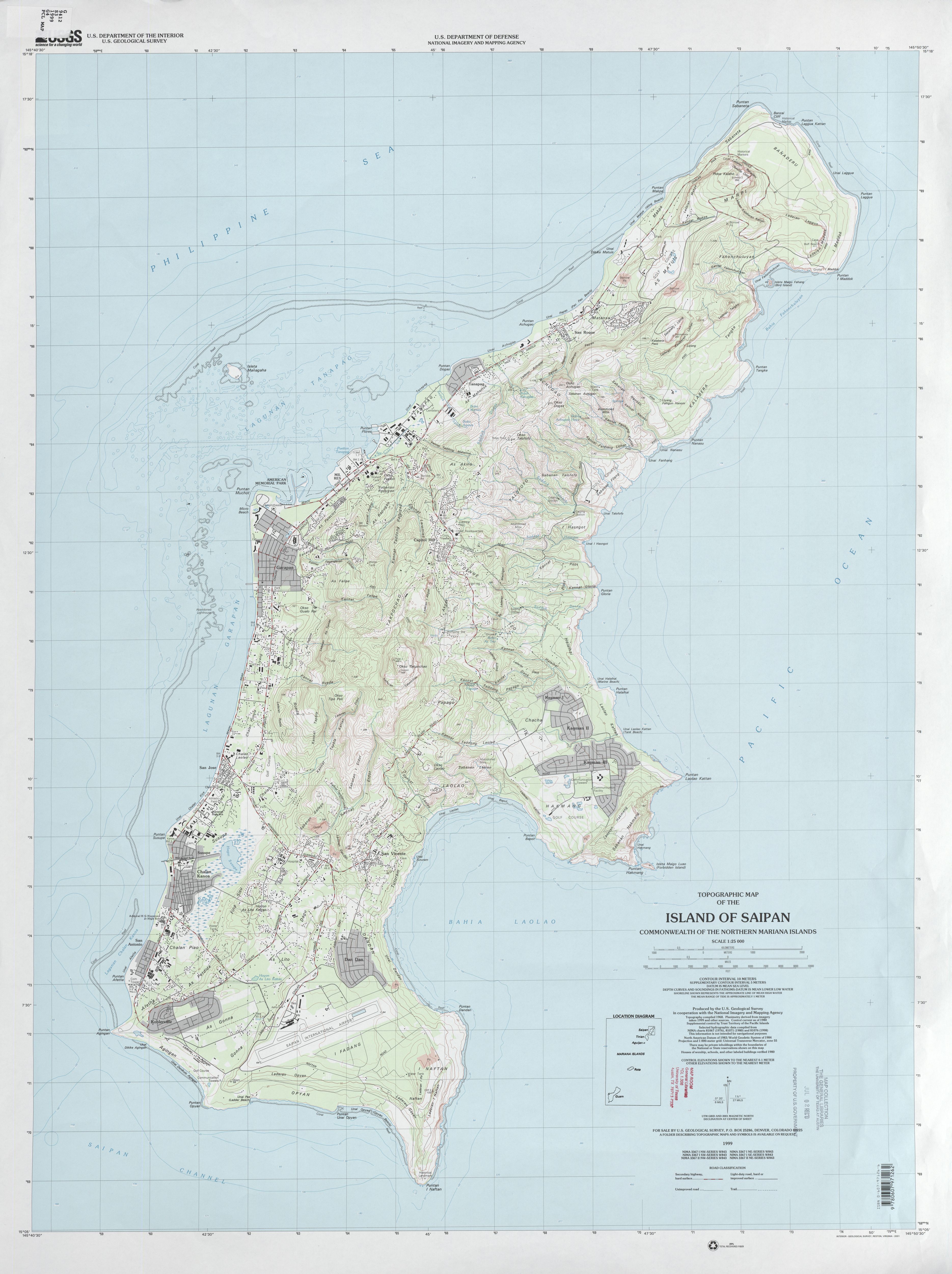
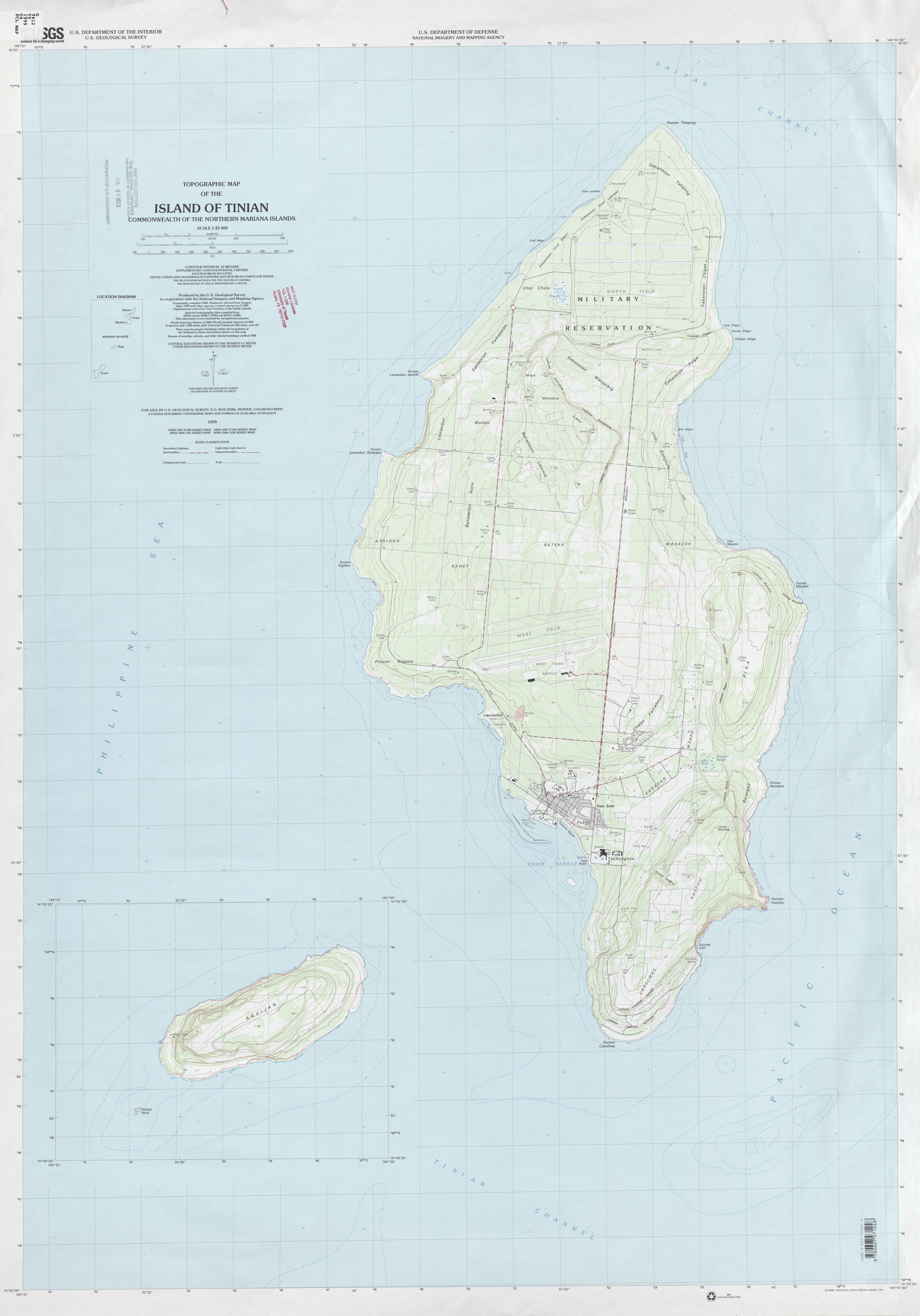
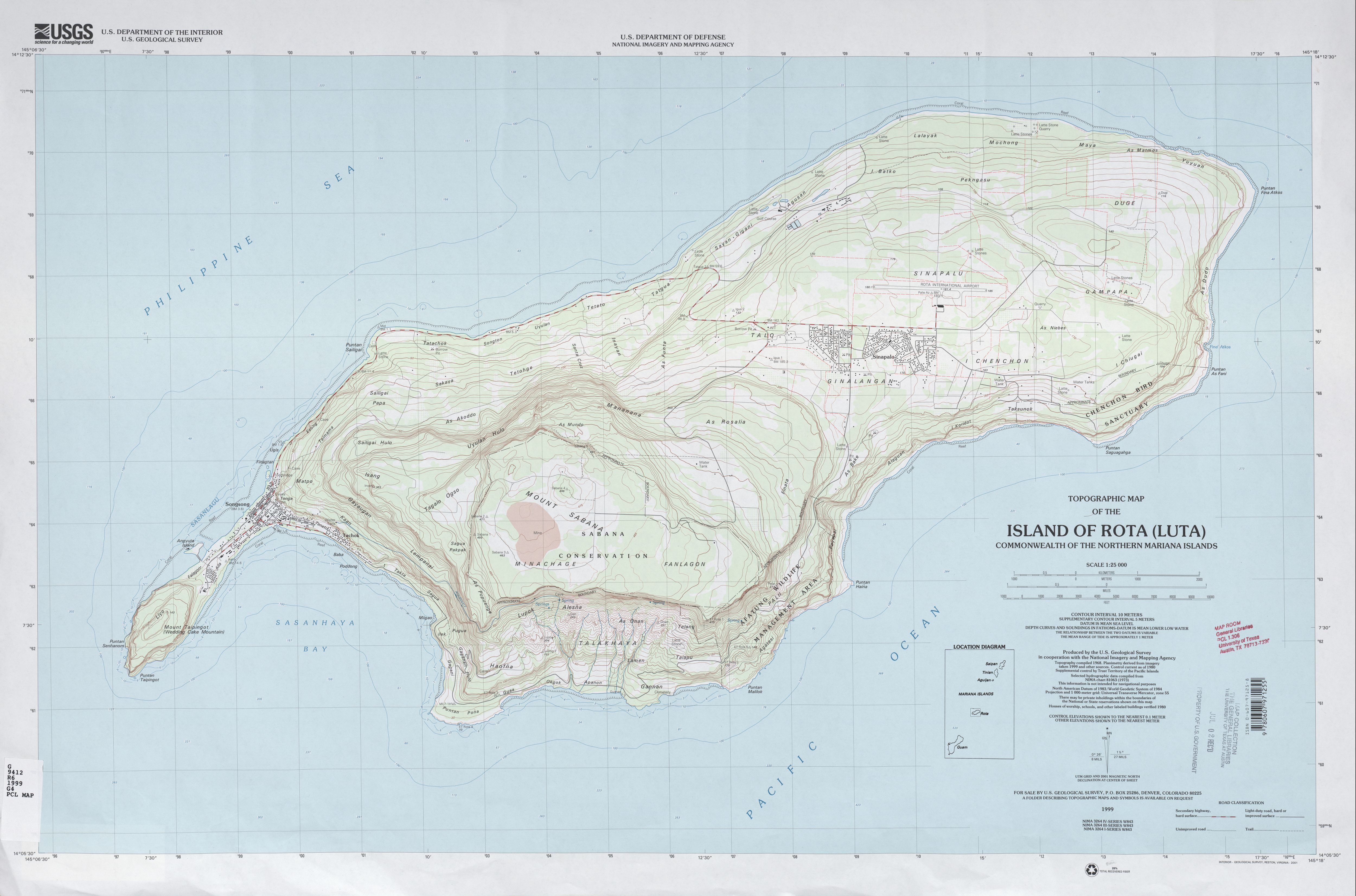
The Northern Mariana Islands, also called Northern Marianas, and officially Commonwealth of the Northern Mariana Islands, are a self-governing commonwealth in association with the United States. The Commonwealth, composed of 22 islands and islets in the western Pacific Ocean, is a part of the Mariana Islands, a chain of volcanic mountain peaks and uplifted coral reefs. (The Marianas chain also includes the politically separate island of Guam, to the south.) Saipan (46.5 square miles [120 square km]), Tinian (39 square miles [101 square km]), and Rota (33 square miles [85 square km]) are the principal islands and, together with Anatahan, Alamagan, and Agrihan, are inhabited. Another island, Pagan, was evacuated in 1981 after a severe volcanic eruption there. The capital is on Saipan.
Thank you for your interest in editing the Waze maps for the Northern Mariana Islands. Please note we follow the US national guidance with a few exceptions. Be sure to click on and read every link from this page for in-depth tips, guidance and advice.
All editors should have a real username, not a usa_username and are required to have their private messaging turned on.
Refer to the Glossary for common Waze related terms.
Tip: Editors are strongly encouraged to download & install the Waze Validator Plugin. This tool will identify map errors and offers guidance on how to fix them. Use this to identify issues in areas you are working on but make sure not to be distracted by errors that do not pertain to you.
Mapping resources
Before editing the maps in the Northern Mariana Islands region, be sure to fully review and understand the editing manual.
The Waze user community follows the Waze etiquette guidelines discussed in the Wiki. Be sure to familiarize yourself with these guiding principals while editing the maps and this Wiki, as well as when communicating with other Waze users.
English to Chamorro
Chamorro is an official language in the Northern Mariana Islands. This language shows up in street names.
Chalan = Street (e.g. Chalan Monsignor Martinez would be similar to Monsignor Martinez St)
Please do not convert street names from "Chalan" to "Street."
Island specific resources
Mapping resources are almost non-existent, except for some older USGS Topographic maps.
The Waze forum is a great place to find answers to previously asked questions and also a place to ask new ones. Below are links to the forums specific to the Northern Mariana Islands region.
New editors should consider checking into the formal mentoring program available at no charge.
Formal Mentoring is a great tool to quickly learn the ropes of editing correctly and efficiently. It includes the potential for accelerated rank and role upgrades.
Editors in the Northern Mariana Islands use a Google+ Community page named "Waze Mariana Islands" for communication and information exchange. Feel free to join us by clicking here!.
One of the most common errors when editing the maps is when an editor creates a road and does not confirm the road by setting the city and road name (or stating it has none).
Some states and territories manage a separate page on cities and towns to identify the specific city names that should be entered, and no others. For states that do not have a separate page to track the names, see this Wikipedia link and find the state or territory in question.
Major roads
The Northern Mariana Islands region follows the general road naming and road type guidelines of the USA.
In Northern Mariana Islands we have a set minimum standard for locking roads based on segment type. Any road of a certain segment type must be locked at least to the rank (level) in the chart below. Roads may be locked higher for protection and special situations (areas with construction, tricky design, frequent mistakes, imaging inaccuracies, and the like), but should not be locked lower.
A great time to implement these locks is while bringing the road types of an area into compliance with the current US road type standards (FC and highway systems). Lock the roads based on type after they've been set to current US road type standards.
Northern Mariana Islands Minimum Locking Rank Standard
Segment Type
Statewide
Freeway
5
Ramp
4
Major Highway
4
Minor Highway
3
Primary Street
2
Street
1
• • • • Ferry • • • •
5
|-|-|-|-|-|-|-|-|-| Railroad |-|-|-|-|-|-|-|-|-|
2
Special roads
Drivable roads
The Northern Mariana Islands region follows the standard USA guidelines for all of the following special road types.
Review the Wiki guidelines for non-drivable roads to ensure compliance with the general guidelines.
Guidelines that vary by state or territory
The following special roads are managed slightly uniquely in some states and territories. This territory uses the following standard guidelines found in the Wiki.
When managing a section of roadway under construction or being closed for a major event, follow the Wiki guidelines on construction zones and Real time closures.
The Federal Highway Administration keeps a website indexing all states that can provide highway and construction project information. Go to the page, find your state, and check the links for the desired information.
Places
The Northern Mariana Islands region follows the USA standard for Places. Do not deviate from the guidelines without first obtaining consensus to do so via the territory forum linked on this page.
Locking Standard
Northern Mariana Islands Place Lock Level Standards
PLACE TYPE
LOCK LEVEL
Military Installation / Airport
4
Hospitals / Urgent Care / Police & Fire Dept
4
Gas Stations / Charging Stations
3
All Places that have complete information (to include, at a minimum, address/city, hours of operation, phone number) are to be locked at Level 2. This is to prevent loss of data due to automatic acceptance of Place Update submissions from Trusted Users, or Place Update Request approvals from other editors without careful examination.
If you do not have a high enough enough rank to lock the place as indicated, please lock it as high as you can, and notify a higher rank AM, SM, CM, or Champ to lock it higher.
Cameras
Not every camera-looking device at an intersection is a speed or red light camera. Generally speaking:
a speed camera takes a photograph of a vehicle when it passes by the camera at too high a speed.
a red light camera takes a photograph of a vehicle that enters an intersection after the light is red. In some areas, it takes the photograph when a vehicle is not clear of the intersection some period after the light turns red.
When adding a camera, be sure to review the camera placement recommendations.
Laws regarding speed and red light cameras vary between the states and territories, so be sure to understand the details of camera legality in the Northern Mariana Islands region.
Based on information researched at the time this page was created, Waze editors have not determined the legality of red light or speed cameras in the Northern Mariana Islands region.
No other camera types should be mapped in Waze.
To do list
Many states and territories keep an active list of pending or closed actions that need to be done in the state by the editors. All editors are welcome to contribute to the list of activities.
The table below identifies the editors also designated as Area Managers or higher who are editing in the Northern Mariana Islands region. If you have any questions, please consider contacting them directly as needed. If you are an Area Manager that covers the Northern Mariana Islands region, or a USA Country Manager that does a lot of work in the Northern Mariana Islands region, please add yourself to this list (alphabetical by username) in the correct rank section.
The editor who also serves as the Regional Coordinator for the Northern Mariana Islands region is automatically listed at the top of the table. That editor may not be highly active in this territory and therefore may not be listed separately in the table.
Northern Mariana Islands — Area, State, Country Managers, and Regional Coordinators


